Verwandte Artikel zu Staines A-Z Street Atlas (A-Z Street Atlas S.)
Zu dieser ISBN ist aktuell kein Angebot verf�gbar.
Alle Exemplare der Ausgabe mit dieser ISBN anzeigen:
Rese�a del editor:
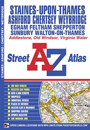
This atlas of Staines, Chertsey, Ashford, Feltham, Weybridge and Walton-on-Thames features 32 pages of coloured street mapping that extends to:
- Old Windsor
- Wraysbury
- Stanwell
- Heathrow Airport Terminal 4
- Englefield Green
- Hanworth
- Virginia Water
- Thorpe Park
- Sunbury
- West Molesey (part)
- Ottershaw
- Addlestone
- Hersham
- Brooklands
Postcode districts, one-way streets, safety camera locations with their maximum speed and the Greater London Low Emission Zone boundary are featured on the mapping.
The index section lists streets, selected flats, walkways and places of interest, junction, place and area names, National Rail and London Underground stations, hospitals and hospices covered by this atlas.
��ber diesen Titel� kann sich auf eine andere Ausgabe dieses Titels beziehen.
- VerlagGeographers’ A-Z Map Co Ltd
- Erscheinungsdatum2014
- ISBN 10 1843487616
- ISBN 13 9781843487616
- EinbandTapa blanda
- Auflage5
- Anzahl der Seiten56
(Keine Angebote verf�gbar)
Buch Finden: Kaufgesuch aufgebenSie kennen Autor und Titel des Buches und finden es trotzdem nicht auf ZVAB? Dann geben Sie einen Suchauftrag auf und wir informieren Sie automatisch, sobald das Buch verf�gbar ist!
Kaufgesuch aufgeben