Verwandte Artikel zu Swindon A-Z Street Atlas
Zu dieser ISBN ist aktuell kein Angebot verf�gbar.
Alle Exemplare der Ausgabe mit dieser ISBN anzeigen:
Rese�a del editor:
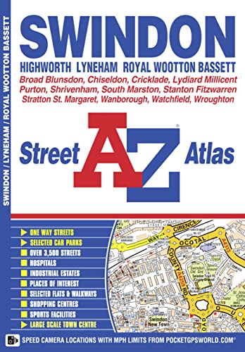
This A-Z map of Swindon, Highworth, Lyneham and Royal Wootton Bassett features 34 pages of coloured street mapping covering:
- Cricklade
- Broad Blunston
- Stanton Fitzwarren
- Watchfield
- Shrivenham
- South Marston
- Wanborough
- Liddington
- Chiseldon
- Wroughton
- Wichelstowe
- Blagrove
- Lydiard Millicent
- Purton (inset).
There is separate coverage of Lyneham and a large scale town centre map of Swindon.
Postcode districts, one-way streets and safety camera locations with maximum speeds are featured on the street mapping.
The index section lists streets, selected flats, walkways and places of interest, place, area and station names, hospitals and hospices covered by this atlas.
��ber diesen Titel� kann sich auf eine andere Ausgabe dieses Titels beziehen.
- VerlagGeographers’ A-Z Map Co Ltd
- Erscheinungsdatum2015
- ISBN 10 178257056X
- ISBN 13 9781782570561
- EinbandTapa blanda
- Auflage6
- Anzahl der Seiten52
(Keine Angebote verf�gbar)
Buch Finden: Kaufgesuch aufgebenSie kennen Autor und Titel des Buches und finden es trotzdem nicht auf ZVAB? Dann geben Sie einen Suchauftrag auf und wir informieren Sie automatisch, sobald das Buch verf�gbar ist!
Kaufgesuch aufgeben