Verwandte Artikel zu Mapping and Navigation: Explore the History and Science...
Mapping and Navigation: Explore the History and Science of Finding Your Way with 20 Projects (Build It Yourself)
Zu dieser ISBN ist aktuell kein Angebot verf�gbar.
Alle Exemplare der Ausgabe mit dieser ISBN anzeigen:
Rare Book
Die Inhaltsangabe kann sich auf eine andere Ausgabe dieses Titels beziehen.
Cr�ticas:
Dr. Ian Muehlenhaus, Department of Geography and Earth Science, University of Wisconsin, La Crosse "This book succeeds in its core mission, to introduce children to the world of navigation, mapmaking, and map use. Mapping and Navigation is packed full of fun projects and activities." Marla Conn, Educational Consultant "Mapping and Navigation is a perfect STEM title and a wonderful resource for students in grades 4--7. It encourages students to draw evidence from informational texts to support analysis, reflection, and research." Other titles by Cynthia Light Brown Explore Rocks and Minerals! Children's Literature Review "Earth science teachers would find a lot of use for this handbook in a classroom setting. The text is engaging and the print is easy on the eyes." Amazing Kitchen Chemistry Projects You Can Build Yourself Roald Hoffmann, 1981 Nobel Prize winner in Chemistry "Chemistry experiments in the kitchen! From mysterious oobleck to soda rockets, this book is the greatest fun. I can't wait to try some of these experiments. The grandchildren? They will have to wait." Geology of the Pacific Northwest: Investigate How the Earth Was Formed National Science Teachers Association (Recommends) "This excellent little book about the geology of the Pacific Northwest makes learning Earth science both fun and practical."
Rese�a del editor:
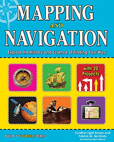
How did we get from 20-foot-long maps to GPS devices small enough to fit in the palm of our hands? How does GPS work and what can it tell us? How do ancient mapmaking techniques used by the Romans and Greeks influence the satellite technologies we use today? The history of mapmaking is full of remarkable characters who charted the unknown with an ever-changing set of tools. In Mapping and Navigation: The History and Science of Finding Your Way, kids ages 9-12 will learn the history and science behind the evolution of mapmaking, and how much is still out there for discovery. Readers will explore ideas through hands-on experiments while learning new terminology and interesting facts. Projects include using triangulation to measure distances, creating contour lines on a mini-mountain to understand elevation changes on a map, and inventing a sundial and compass to understand the basics of navigation. Whether mapping the solar system or mapping their own backyard, all readers will be able to understand mapping technologies and see the world in new and exciting ways.
��ber diesen Titel� kann sich auf eine andere Ausgabe dieses Titels beziehen.
- VerlagNomad Press
- Erscheinungsdatum2013
- ISBN 10 1619301989
- ISBN 13 9781619301986
- EinbandR�stica
- Anzahl der Seiten128
- ZeichnerHetland Beth
- Bewertung
(Keine Angebote verf�gbar)
Buch Finden: Kaufgesuch aufgebenSie kennen Autor und Titel des Buches und finden es trotzdem nicht auf ZVAB? Dann geben Sie einen Suchauftrag auf und wir informieren Sie automatisch, sobald das Buch verf�gbar ist!
Kaufgesuch aufgeben