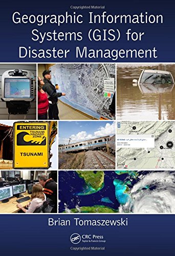
Verwandte Artikel zu Geographic Information Systems (GIS) for Disaster Management

Zu dieser ISBN ist aktuell kein Angebot verfügbar.
Alle Exemplare der Ausgabe mit dieser ISBN anzeigen:Die Inhaltsangabe kann sich auf eine andere Ausgabe dieses Titels beziehen.
Brian Tomaszewski PhD is a geographic information scientist with research interests in the domains of geographic information science and technology, geographic visualization, spatial thinking, and disaster management. His published research on geographic information systems (GIS) and disaster management related topics has appeared in top scientific journals and conferences such as Information Visualization, Computers, Environment and Urban Systems, Computers and Geosciences, the IEEE Conference on Visual Analytics Science and Technology, and The Cartographic Journal. He also regularly publishes in popular GIS trade magazines such as ArcUser and ArcNews. He also is also as a scientific committee member for the Information Systems for Crisis Response and Management (ISCRAM) conference.
Dr. Tomaszewski's relevant experience includes past work with internationally focused organizations interested in GIS and disaster management such as the United Nations Office for the Coordination for Humanitarian Affairs (UN-OCHA) ReliefWeb service, United Nations Office for Outer Space Affairs Platform for Space-Based Information for Disaster Management and Emergency Response (UN-SPIDER), and United Nations Global Pulse. He also served as a visiting research scientist with the United Nations Institute for Environment and Human Security (UNU-EHS) in Bonn, Germany. He mentored and instructed multidisciplinary GIS for disaster management student research groups via the National Science Foundation (NSF)-funded Science Master’s Program (SMP) titled Decision Support Technologies for Environmental Forecasting and Disaster Response at the Rochester Institute of Technology (RIT). His research on geospatial technology educational development and spatial thinking in Rwanda has been supported by the United Kingdom Department for International Development (UK-DFID) and he is actively involved in other funded computing research activities in Rwanda. Brian is currently an assistant professor in the Department of Information Sciences and Technologies at the Rochester Institute of Technology. He holds a PhD in geography from the Pennsylvania State University. For more information, visit: http://people.rit.edu/bmtski/.
„Über diesen Titel“ kann sich auf eine andere Ausgabe dieses Titels beziehen.
- VerlagRoutledge
- Erscheinungsdatum2014
- ISBN 10 1482211688
- ISBN 13 9781482211689
- EinbandTapa dura
- Auflage1
- Anzahl der Seiten310
- Bewertung
(Keine Angebote verfügbar)
Buch Finden: Kaufgesuch aufgebenSie kennen Autor und Titel des Buches und finden es trotzdem nicht auf ZVAB? Dann geben Sie einen Suchauftrag auf und wir informieren Sie automatisch, sobald das Buch verfügbar ist!
Kaufgesuch aufgeben
