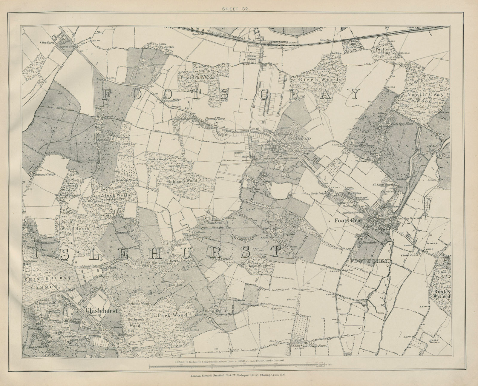
Stanford's Library map of London and its suburbs - Sheet 32
Stanford
Verkauft von Antiqua Print Gallery, London, Vereinigtes Königreich
AbeBooks-Verkäufer seit 14. Januar 2022
Gebraucht
Zustand: Good
Anzahl: 1 verfügbar
In den Warenkorb legenVerkauft von Antiqua Print Gallery, London, Vereinigtes Königreich
AbeBooks-Verkäufer seit 14. Januar 2022
Zustand: Good
Anzahl: 1 verfügbar
In den Warenkorb legenStanford Library map of London Sheet 32 Chislehurst Foots Cray Sidcup 1895. Antique street map of part of London; Edward Stanford (These maps are undated. From the content we date them at circa 1895, although the western extensions of maps 1, 5, 9, 13, 17 & 21 appear to be earlier. Key dating references include the presence of Tower Bridge (opened 1894) and Rosebery Avenue (1892) and the absence of the Blackwall Tunnel (opened 1897) and the Boundary Estate (1896)). 35.0 x 43.5cm, 13.75 x 17 inches. Condition: Good. There is nothing printed on the reverse side, which is plain. Sheet 32 Chislehurst, Foots Cray, Longlands, Ruxley, Sidcup.
Bestandsnummer des Verkäufers P-8-001789
Terms:
All items are offered subject to prior sale and remain our property until full payment has been received. Goods will be sent within 2 business days of receipt of cleared payment, except during holidays.
Returns:
We accept returns for any reason initiated within 30 days of the estimated delivery date according to Abebooks standard conditions of return.
Authenticity:
All items are genuine antique or vintage and printed at the date stated unless specifically stated to be later reproductions....
Mehr InformationSmaller items (up to A4 in size) are packed flat in a board-backed envelope. Larger items are rolled into a strong postal tube. Items are sent insured.