Zum Hauptinhalt
zvab.com
Suchen
Login
Nutzerkonto
Warenkorb
Hilfe
Menü
Suchen
Nutzerkonto
Meine Bestellungen
Detailsuche
Sammlungen
Bücher sammeln
Kunst & Sammlerstücke
Antiquariate finden
Verkäufer werden
Hilfe
SCHLIESSEN
Landkarten
Sammlung erstellt von
Bibliographica Christian Höflich
Beliebteste Artikel
Neu gelistete Artikel
Preis aufsteigend
Maps of the Pueblo Lands of San Diego, 1602-1874
Harlow, Neal:
1987
Signatur des Verfassers
Cuba in old maps. Katalog hrsg. vom Historical Museum of Sothern Floriada.
Cueto, Emilio:
1999
Paysages de Frontieres. Tracés de limites et levés topographiques XVIIe-XIXe siècle. Mit zahlr. f...
Watelet, Marcel:
1992
Maps of Africa. An illustrated and annotated carto-bibliography. Bibliographical descriptions by ...
Norwich, Oscar I.:
1983
Meister der Kartographie.
Bagrow, Leo und R. A. Skelton:
1964
America. Early Maps of the New World.
Wolff, Hans:
1992
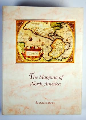
The Mapping of North America. A List of printed maps 1511-1670.
Burden, Philip D.:
1996
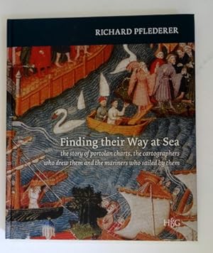
Findin their way at sea. The story of portolan charts, the cartographers who drew them and the ma...
Pflederer, Richard:
2012
Orientierungsplan der freien und Hansestadt Bremen. 1 : 10 000. Mehrfach gefalt. farblithogr. Sta...
Bremen:
1890
Weitere Ergebnisse anzeigen