Global Map
Beliebte Artikel von Global Map
Alle Angebote anzeigen-
LAC Touristische Karte Via Francigena
Artikelpreise ab
1 Angebot anzeigenEUR 8,80
Entdecken Sie auch
Antiquarisch -
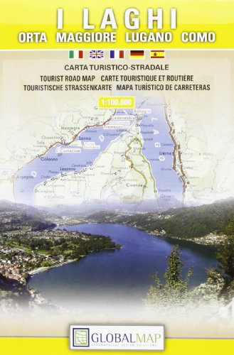
I laghi. Orta, Maggiore, Lugano, Como 1:100.000
Artikelpreise ab
3 Angebote anzeigenEUR 5,88
Entdecken Sie auch
Antiquarisch -
La Maremma grossetana 1 : 130.000
Artikelpreise ab
1 Angebot anzeigenEUR 7,36
Entdecken Sie auch
Antiquarisch -
-
LAC Topographische Karte Lago di Como
Artikelpreise ab
1 Angebot anzeigenEUR 29,34
Entdecken Sie auch
Neu -
Topographische Karte Monte Baldo 1:25000 (Carte stradali)
Artikelpreise ab
2 Angebote anzeigenEUR 34,62
Entdecken Sie auch
Antiquarisch