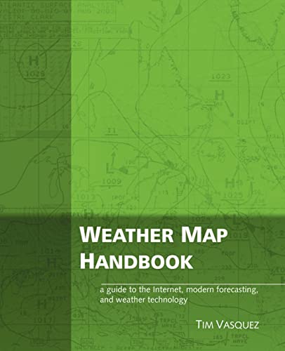
Weather Map Handbook
Vasquez, Tim
Verkäufer
ThriftBooks-Dallas, Dallas, TX, USA
Verkäuferbewertung 5 von 5 Sternen
![]()
AbeBooks-Verkäufer seit 2. Juli 2009
Beschreibung
Beschreibung:
May have limited writing in cover pages. Pages are unmarked. ~ ThriftBooks: Read More, Spend Less. Bestandsnummer des Verkäufers G0970684045I4N00
Inhaltsangabe:
The Weather Map Handbook explains nearly every forecasting chart used in meteorology. It's designed especially for the Internet, showing how to predict weather from scratch using the same charts that professional meteorologists use. A complete listing of weather map symbols, iconographs, and decoding information fills the pages. It's perfect for hobbyists, pilots, students, broadcasters, and storm chasers. Using a double-page format, the Weather Map Handbook demonstrates nearly every type of weather map, image, and product in common use. An overview of each item's origin, purpose, shortfalls, and tips are outlined. Standards for analysis symbology and chart markings are summarized. The surface, 850 mb, 700 mb, 500 mb, and 300-200 mb charts get two pages each, complete with philosophy, objectives, and techniques for each chart. Thickness, isentropic, and Q vector products get their own sections. Topping off the book is an appendix with surface and upper-level station plot models, a vast technical glossary compiled from the depths of the NWS, SPC, and NCEP, and much more.
Reseña del editor: The Weather Map Handbook explains nearly every forecasting chart used in meteorology. It's designed especially for the Internet, showing how to predict weather from scratch using the same charts that professional meteorologists use. A complete listing of weather map symbols, iconographs, and decoding information fills the pages. It's perfect for hobbyists, pilots, students, broadcasters, and storm chasers. Using a double-page format, the Weather Map Handbook demonstrates nearly every type of weather map, image, and product in common use. An overview of each item's origin, purpose, shortfalls, and tips are outlined. Standards for analysis symbology and chart markings are summarized. The surface, 850 mb, 700 mb, 500 mb, and 300-200 mb charts get two pages each, complete with philosophy, objectives, and techniques for each chart. Thickness, isentropic, and Q vector products get their own sections. Topping off the book is an appendix with surface and upper-level station plot models, a vast technical glossary compiled from the depths of the NWS, SPC, and NCEP, and much more.
Bibliografische Details
Titel: Weather Map Handbook
Verlag: Weather Graphics Technologies
Erscheinungsdatum: 2003
Einband: Paperback
Zustand: Very Good
Zustand des Schutzumschlags: No Jacket
Beste Suchergebnisse beim ZVAB
Weather Map Handbook
Anbieter: Better World Books, Mishawaka, IN, USA
Zustand: Good. Used book that is in clean, average condition without any missing pages. Artikel-Nr. 6120247-6
Weather Map Handbook
Anbieter: moluna, Greven, Deutschland
Kartoniert / Broschiert. Zustand: New. KlappentextThis interesting book explains nearly every forecasting chart used in meteorology and is designed especially for the Internet by showing how to predict weather from scratch using professional meteorological charts. Artikel-Nr. 899014610
Neu kaufen
Anzahl: 1 verfügbar
Weather Map Handbook
Anbieter: preigu, Osnabrück, Deutschland
Taschenbuch. Zustand: Neu. Weather Map Handbook | Tim Vasquez | Taschenbuch | Kartoniert / Broschiert | Englisch | 2003 | Touchladybirdlucky Studios | EAN 9780970684042 | Verantwortliche Person für die EU: Libri GmbH, Europaallee 1, 36244 Bad Hersfeld, gpsr[at]libri[dot]de | Anbieter: preigu. Artikel-Nr. 102261832
Neu kaufen
Anzahl: 1 verfügbar
Weather Map Handbook
Anbieter: AHA-BUCH GmbH, Einbeck, Deutschland
Taschenbuch. Zustand: Neu. Neuware - This interesting book explains nearly every forecasting chart used in meteorology and is designed especially for the Internet by showing how to predict weather from scratch using professional meteorological charts. Artikel-Nr. 9780970684042
Neu kaufen
Anzahl: 1 verfügbar
Weather Map Handbook
Anbieter: Majestic Books, Hounslow, Vereinigtes Königreich
Zustand: New. Artikel-Nr. 7885053
Neu kaufen
Anzahl: 1 verfügbar

