Inhaltsangabe
Revised Edition!
Maps and charts are needed by both businesses and society in order to make complicated information and data comprehensible. The art of mapping has therefore become one of the core graphic design practices. However, very little literature exists on this subject and the few books available fail to
address all the issues involved.
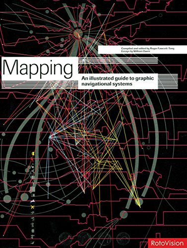
Mapping Graphic Navigational Systems offers a comprehensive study of all areas of cartography from nautical charts to subway systems, from websites to calendars. This guide reveals the visual language of location, direction, spatial and structural relationships which are central to the information design discipline. Featuring in-depth essays as well as inspiring visuals and case studies, this book will be welcomed by professional information designers and design students everywhere. This revised edition offers a timely update to the subject, and features brand-new material.
Die Inhaltsangabe kann sich auf eine andere Ausgabe dieses Titels beziehen.
�ber die Autorin bzw. den Autor
Roger Fawcett-Tang is a graphic designer and founder of internationally renowned Struktur Design. He has written/designed many books for RotoVision, including Mapping and the highly successful Experimental Formats.
��ber diesen Titel� kann sich auf eine andere Ausgabe dieses Titels beziehen.
Suchergebnisse f�r Mapping Graphic Navigational Systems

Beispielbild f�r diese ISBN
Mapping Graphic Navigational Systems
Verlag:
Quarto Publishing Group USA, 2008
ISBN 10: 2888930366
ISBN 13: 9782888930365
Gebraucht
Softcover
Anbieter: Better World Books Ltd, Dunfermline, Vereinigtes K�nigreich
Verk�uferbewertung 5 von 5 Sternen
![]()
Zustand: Very Good. Former library copy. Pages intact with possible writing/highlighting. Binding strong with minor wear. Dust jackets/supplements may not be included. Includes library markings. Stock photo provided. Product includes identifying sticker. Better World Books: Buy Books. Do Good. Artikel-Nr. GRP65549084
Gebraucht kaufen
EUR 6,41
EUR 5,78 Versand
Versand von Vereinigtes K�nigreich nach USA
Versand von Vereinigtes K�nigreich nach USA
Anzahl: 2 verf�gbar
Beispielbild f�r diese ISBN
Mapping Graphic Navigational Systems
Verlag:
Rotovision, Switzerland, Mies, 2008
ISBN 10: 2888930366
ISBN 13: 9782888930365
Gebraucht
Paperback
Anbieter: WorldofBooks, Goring-By-Sea, WS, Vereinigtes K�nigreich
Verk�uferbewertung 5 von 5 Sternen
![]()
Paperback. Zustand: Very Good. Revised Edition! Maps and charts are needed by both businesses and society in order to make complicated information and data comprehensible. The art of mapping has therefore become one of the core graphic design practices. However, very little literature exists on this subject and the few books available fail to address all the issues involved. Mapping Graphic Navigational Systems offers a comprehensive study of all areas of cartography from nautical charts to subway systems, from websites to calendars. This guide reveals the visual language of location, direction, spatial and structural relationships which are central to the information design discipline. Featuring in-depth essays as well as inspiring visuals and case studies, this book will be welcomed by professional information designers and design students everywhere. This revised edition offers a timely update to the subject, and features brand-new material. The book has been read, but is in excellent condition. Pages are intact and not marred by notes or highlighting. The spine remains undamaged. Artikel-Nr. GOR005233708
Gebraucht kaufen
EUR 3,71
EUR 9,02 Versand
Versand von Vereinigtes K�nigreich nach USA
Versand von Vereinigtes K�nigreich nach USA
Anzahl: 1 verf�gbar
Foto des Verk�ufers
Mapping graphic navigational systems / compiled and edited by Roger Fawcett-Tang
Verlag:
Crans-Pr�s-C�ligny ; Hove : RotoVision, 2008
ISBN 10: 2888930366
ISBN 13: 9782888930365
Gebraucht
Softcover
Anbieter: MW Books, New York, NY, USA
Verk�uferbewertung 5 von 5 Sternen
![]()
Revised Edition. Fine paperback copy. Particularly and surprisingly well-preserved; tight, bright, clean and especially sharp-cornered. Physical description; 208 pages : illustrations ; 29 cm. Subjects; Graphic arts. Computer graphics. Cartography ; Case studies. Graphic arts ; Case studies. Computer graphics ; Case studies. Cartography. 3 Kg. Artikel-Nr. 374217
Gebraucht kaufen
EUR 26,44
Versand gratis
Versand innerhalb von USA
Versand innerhalb von USA
Anzahl: 1 verf�gbar