Verwandte Artikel zu Philip's Street Atlas Dorset, Bournemouth and Poole:...
Zu dieser ISBN ist aktuell kein Angebot verf�gbar.
Alle Exemplare der Ausgabe mit dieser ISBN anzeigen:
Rese�a del editor:
Rese�a del editor:
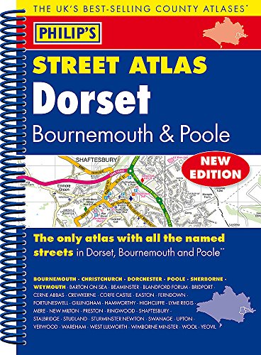
THE ONLY COUNTY STREET ATLAS WITH ALL THE NAMED STREETS OF DORSET, BOURNEMOUTH, AND POOLE.
The UK's best-selling county street atlases
More than 24,000 named streets, roads, lanes and alleys
The essential map book for residents and visitors - and if you're moving to Dorset
Includes all the streets in BOURNEMOUTH, CHRISTCHURCH, DORCHESTER, POOLE, SHERBORNE, WEYMOUTH, BARTON ON SEA, BEAMINSTER, BLANDFORD FORUM, BRIDPORT, CERNE ABBAS, CREWKERNE, Corfe Castle, Easton, Ferndown, Fortuneswell, Gillingham, Hamworthy, Highcliffe, Lyme Regis, Mere, New Milton, Preston, Ringwood, Shaftesbury, Stalbridge, Studland, Sturminster Newton, Swanage, Upton, Verwood, Wareham, West Lulworth, Wimborne Minster, Wool, Yeovil.
- New edition in practical spiral-bound format
- Street maps show car parks, schools, hospitals and many other places of interest, even ones off the beaten path
- 4-page practical route-planning section showing all A and B roads
- Super-clear mapping
- Easy-to-use index
- Scales: 1� inches to 1 mile (1:36,000) and 3� inches to 1 mile (1:18,000). Major towns: 7 inches to 1 mile (1:9,000).
Other information on the maps includes postcode boundaries, car parks, railway and bus stations, post offices, schools, colleges, hospitals, police and fire stations, places of worship, leisure centres, footpaths and bridleways, camping and caravan sites, golf courses, and many other places of interest.
This fully updated Philip's street atlas of Dorset, Bournemouth and Poole gives comprehensive and detailed coverage of the region in a convenient spiral-bound format. The route planner shows all the A and B roads, and can be used when driving to get close to the destination before turning to the relevant large-scale street map.
The street maps show every named road, street and lane very clearly, with major roads picked out in colour. The maps are at a scale of 3.5 inches to 1 mile, with less populated areas at 1.75 inches to 1 mile.
Other information on the maps includes postcode boundaries, car parks, railway and bus stations, post offices, schools, colleges, hospitals, police and fire stations, places of worship, leisure centres, footpaths and bridleways, camping and caravan sites, golf courses, and many other places of interest.
The comprehensive index lists street names and postcodes, plus schools, hospitals, railway stations, shopping centres and other such features picked out in red, with other places of interest shown in blue.
Philip's Street Atlas Dorset, Bournemouth and Poole is suitable for both business and leisure use.
��ber diesen Titel� kann sich auf eine andere Ausgabe dieses Titels beziehen.
- VerlagPhilip's
- Erscheinungsdatum2015
- ISBN 10 1849073678
- ISBN 13 9781849073677
- EinbandTapa blanda
- Anzahl der Seiten256
(Keine Angebote verf�gbar)
Buch Finden: Kaufgesuch aufgebenSie kennen Autor und Titel des Buches und finden es trotzdem nicht auf ZVAB? Dann geben Sie einen Suchauftrag auf und wir informieren Sie automatisch, sobald das Buch verf�gbar ist!
Kaufgesuch aufgeben