Verwandte Artikel zu Philip's Complete Road Atlas Britain and Ireland...

Zu dieser ISBN ist aktuell kein Angebot verfügbar.
Alle Exemplare der Ausgabe mit dieser ISBN anzeigen:
Reseña del editor:
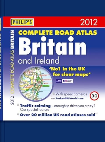
Hardback atlases are popular as gifts and also for self-purchase by heavy users such as business drivers.This deluxe Philip's Complete Road Atlas Britain and Ireland 2012 contains 160 pages of road maps covering Britain at 3 miles to 1 inch, with the Western Isles, Orkney and Shetland at smaller scales. The maps clearly mark service areas, roundabouts and multi-level junctions, and in rural areas distinguish between roads over and under 4 metres wide - a boon for drivers of wide vehicles.The atlas also includes 10 pages of route-planning maps, a distance table, 10 large-scale city approach maps with named arterial roads, and 64 extra-detailed and fully indexed town and city plans.
„Über diesen Titel“ kann sich auf eine andere Ausgabe dieses Titels beziehen.
- VerlagPhilip's
- Erscheinungsdatum2011
- ISBN 10 184907156X
- ISBN 13 9781849071567
- EinbandTapa dura
- Anzahl der Seiten248
(Keine Angebote verfügbar)
Buch Finden: Kaufgesuch aufgebenSie kennen Autor und Titel des Buches und finden es trotzdem nicht auf ZVAB? Dann geben Sie einen Suchauftrag auf und wir informieren Sie automatisch, sobald das Buch verfügbar ist!
Kaufgesuch aufgeben
