Verwandte Artikel zu Southampton Street Atlas
Zu dieser ISBN ist aktuell kein Angebot verf�gbar.
Alle Exemplare der Ausgabe mit dieser ISBN anzeigen:
Rese�a del editor:
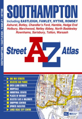
This atlas of Southampton, Eastleigh, Fawley, Hythe and Romsey features 52 pages of coloured street mapping extending to include:
- Chandler's Ford, Otterbourne, Colden Common, North Baddesley, Bishopstoke, Fair Oak (inset), Rownhams, Swathling, Totton, Shirley, Portswood, Bitterne, West End, Hedge End, Botley, Ashurst, Marchwood, Bursledon, Whiteley, Netley, Hamble-Le-Rice, Sarisbury, Locks Heath and Newton.
The separate Hythe coverage includes:
- Dibden Purlieu, Holbury and Blackfield.
Also included is a large scale city centre map of Southampton.
Postcode districts, one-way streets and safety camera locations with their maximum speed limit are featured on the mapping.
The index section lists streets and selected flats and walkways and places of interest, place, area, junction and station names, hospitals and hospices covered by this atlas.
��ber diesen Titel� kann sich auf eine andere Ausgabe dieses Titels beziehen.
- VerlagGeographers' A-Z Map Co Ltd
- Erscheinungsdatum2007
- ISBN 10 1843485249
- ISBN 13 9781843485247
- EinbandTapa blanda
- Anzahl der Seiten80
Beste Suchergebnisse beim ZVAB

Beispielbild f�r diese ISBN
Southampton Street Atlas
Verlag:
Geographers' A-Z Map Co Ltd
(2007)
ISBN 10: 1843485249
ISBN 13: 9781843485247
Gebraucht
Paperback
Anzahl: 2
Anbieter:
Bewertung
Buchbeschreibung Paperback. Zustand: Very Good. The book has been read, but is in excellent condition. Pages are intact and not marred by notes or highlighting. The spine remains undamaged. Artikel-Nr. GOR002220896
Weitere Informationen zu diesem Verk�ufer | Verk�ufer kontaktieren
Gebraucht kaufen
EUR 0,93
W�hrung umrechnen