Verwandte Artikel zu Introduction to Remote Sensing First Edition

Inhaltsangabe
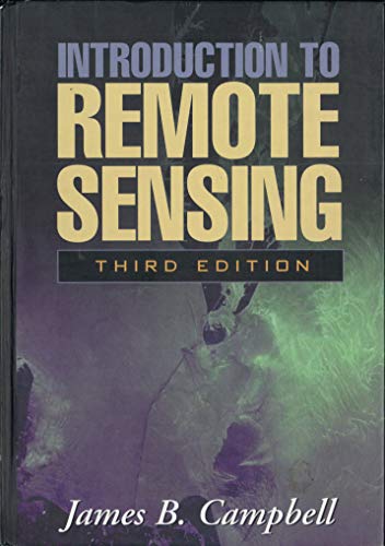
Now in its revised and updated third edition, this comprehensive introductory text presents a timely overview of the most widely used forms of remote sensing imagery and their applications in plant sciences, hydrology, earth sciences, and land-use analysis. The third edition features new coverage of lidar technology, radar interferometry, and the present generation of satellite sensors, as well as other topics of current significance. Integrating knowledge from the many fields that contribute to remote sensing, the text is richly illustrated with 28 color plates and more than 380 black-and-white images and figures.
Die Inhaltsangabe kann sich auf eine andere Ausgabe dieses Titels beziehen.
Críticas
This third edition of Campbell's excellent book provides college students and others with a timely overview of the latest innovations in the rapidly changing field of remote sensing... Students gain a solid understanding of current applications as well as key principles to help them analyze future developments. Whether in biology, geography, geology, land use or natural resource management, this text is designed to meet a broad, multidisciplinary range of student backgrounds and interests. - M. Duane Nellis, PhD, Department of Geography, West Virginia University
Introduction to Remote Sensing, Third Edition, continues to be one of the most complete textbooks available on remote sensing. Campbell covers all relevant topics, including aerial photography and all of the non-film-based sensors, as well as photogrammetric, visual, and digital analysis procedures. There are also chapters on GIS, accuracy assessment, and field data collection... Suitable not only for undergraduates or graduates in the natural and social sciences, but also for those in engineering and related fields. - Barry N. Haack, Department of Geography, George Mason University
Reseña del editor
Now in its revised and updated third edition, this comprehensive introductory text presents a timely overview of the most widely used forms of remote sensing imagery and their applications in plant sciences, hydrology, earth sciences, and land-use analysis. The third edition features new coverage of lidar technology, radar interferometry, and the present generation of satellite sensors, as well as other topics of current significance. Integrating knowledge from the many fields that contribute to remote sensing, the text is richly illustrated with 28 color plates and more than 380 black-and-white images and figures.
„Über diesen Titel“ kann sich auf eine andere Ausgabe dieses Titels beziehen.
- VerlagGuilford Press
- Erscheinungsdatum2002
- ISBN 10 1572306408
- ISBN 13 9781572306400
- EinbandTapa dura
- SpracheEnglisch
- Auflage1
- Anzahl der Seiten546
- Kontakt zum HerstellerNicht verfügbar
EUR 5,93 für den Versand von Vereinigtes Königreich nach Deutschland
Versandziele, Kosten & DauerSuchergebnisse für Introduction to Remote Sensing First Edition
Introduction to Remote Sensing
Anbieter: Better World Books Ltd, Dunfermline, Vereinigtes Königreich
Zustand: Good. 3rd. Ships from the UK. Former library book; may include library markings. Used book that is in clean, average condition without any missing pages. Artikel-Nr. 8400159-20
Anzahl: 1 verfügbar
Introduction to Remote Sensing
Anbieter: Better World Books, Mishawaka, IN, USA
Zustand: Very Good. 3rd. Used book that is in excellent condition. May show signs of wear or have minor defects. Artikel-Nr. 9594129-75
Anzahl: 1 verfügbar
Introduction to Remote Sensing, Third Edition
Anbieter: ThriftBooks-Dallas, Dallas, TX, USA
Hardcover. Zustand: Very Good. No Jacket. May have limited writing in cover pages. Pages are unmarked. ~ ThriftBooks: Read More, Spend Less 3.05. Artikel-Nr. G1572306408I4N00
Anzahl: 1 verfügbar

