Verwandte Artikel zu Remote Sensing Handbook - Three Volume Set: Remotely...
Remote Sensing Handbook - Three Volume Set: Remotely Sensed Data Characterization, Classification, and Accuracies / Land Resources Monitoring, ... Water Resources, Disasters, and Urban Studies - Hardcover
Inhaltsangabe
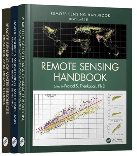
A volume in the three-volume Remote Sensing Handbook series, Remote Sensing of Water Resources, Disasters, and Urban Studies documents the scientific and methodological advances that have taken place during the last 50 years. The other two volumes in the series are Remotely Sensed Data Characterization, Classification, and Accuracies, and Land Resources Monitoring, Modeling, and Mapping with Remote Sensing.
In true handbook style, this volume demonstrates in-depth, extensive and comprehensive coverage of Remote Sensing of Water Resources, Disasters, and Urban Studies. The book provides fundamental as well as practical knowledge of remote sensing of myriad topics pertaining to water resources, disasters, and urban areas such as hydrology, water resources, water use, water productivity, floods, wetlands, snow and ice, nightlights, geomorphology, droughts and drylands, disasters, volcanoes, fire, and smart cities.
Highlights include:
- Hydrological studies, groundwater studies, flood studies, and crop water use and water productivity studies
- Wetland modeling, mapping, and characterization
- Snow and ice studies
- Drought and dryland monitoring and mapping methods
- Volcanoes, coal fires, and greenhouse gas emissions
- Urban remote sensing for disaster risk management
- Remote sensing for the design of smart cities
Considered magnum opus on the subject the three-volume Remote Sensing Handbook is edited by Dr. Prasad S. Thenkabail, an internationally acclaimed scientist in remote sensing, GIScience, and spatial sciences. The volume has contributions from pioneering remote sensing global experts on specific topics. The volume gives you a knowledge base on each of the above mentioned topics, a deep understanding the evolution remote sensing science, and familiarity with state-of-the-art of technology as well as a future vision for the field.
Die Inhaltsangabe kann sich auf eine andere Ausgabe dieses Titels beziehen.
�ber die Autorin bzw. den Autor
Dr. Prasad S. Thenkabail is a well known global expert in remote sensing and spatial sciences. Currently, works as a Research Geographer-15 with the U.S. Geological Survey (USGS). Dr. Thenkabail has conducted pioneering scientific research work in two major areas: Hyperspectral remote sensing of vegetation; Global Irrigated and Rainfed Cropland Mapping. His research papers have won three American Society of Photogrammetric Engineering and Remote Sensing (ASPRS) awards: (a) 2015 ERDAS award for best scientific paper (second author), (a) 2008 ASPRS President’s award (first author), (b) 1994 Autometric Award (first author). He is the Editor-in- Chief of seminal books (Publisher: Taylor and Francis Inc.): (a) three volume (including this), 82 Chapter, Remote Sensing Handbook (November 2015), (b) Hyperspectral Remote Sensing of Vegetation (2012), and (c) Remote Sensing of Global Croplands for Food Security (2009). He is the Editor-in-Chief of Remote Sensing Open Access Journal and is on the editorial board of Remote Sensing of Environment, and ISPRS Journal of Photogrammetry and Remote Sensing. Prasad has work experience in 25+ Countries including working in key remote sensing research\leadership positions @ the International Water Management Institute (IWMI), International Institute of Tropical Agriculture (IITA), Yale Center for Earth Observation (YCEO), and the Indian National Remote Sensing Agency. He was selected by NASA and USGS as a member of Landsat Science Team Member (2007-20011), and was a scientific advisory board member of Rapideye (2001).
John G. Lyon has conducted scientific and engineering research and administrative functions throughout his career. He is formerly the senior physical scientist in the U.S. Environmental Protection Agency’s Office of Research and Development (ORD) and Office of the Science Advisor in Washington, DC, where he co-led work on the Group on Earth Observations and the USGEO subcommittee of the Committee on Environment and Natural Resources, and research on geospatial issues. Lyon was director of ORD’s Environmental Sciences Division for approximately eight years. He was educated at Reed College in Portland, Oregon, and the University of Michigan in Ann Arbor.
��ber diesen Titel� kann sich auf eine andere Ausgabe dieses Titels beziehen.
Neu kaufen
Diesen Artikel anzeigen
EUR 434,21
Gratis f�r den Versand innerhalb von/der USA
Versandziele, Kosten & DauerSuchergebnisse f�r Remote Sensing Handbook - Three Volume Set: Remotely...
Beispielbild f�r diese ISBN
REMOTE SENSING HANDBOOK - THREE VOLUME SET (2016)
Anbieter: Romtrade Corp., STERLING HEIGHTS, MI, USA
Verk�uferbewertung 5 von 5 Sternen
![]()
Zustand: New. This is a Brand-new US Edition. This Item may be shipped from US or any other country as we have multiple locations worldwide. Artikel-Nr. ABNR-234852
Anzahl: 2 verf�gbar