Inhaltsangabe
Bradley Shellito’s new textbook uses hands-on experience to introduce both the “how” and “why” of geographic information systems. Students learn to combine an understanding of basic GIS concepts with practical ArcGIS skills, following step-by-step instructions to accomplish a wide range of real-world tasks and applications while always keeping sight on the conceptual basis and practical impact of what they are doing.
Discovering GIS and ArcGIS is appropriate for introductory GIS courses, or advanced or applied GIS courses. Instructors will find the coverage they need for a single intro-level course, a single advanced or applied course, or a two-course sequence.
Die Inhaltsangabe kann sich auf eine andere Ausgabe dieses Titels beziehen.
�ber die Autorin bzw. den Autor
Bradley A. Shellito is a geographer whose work focuses on the application of geospatial technologies. Dr. Shellito has been a professor at Youngstown State University (YSU) since 2004, and was previously a faculty member at Old Dominion University. He teaches classes in GIS, Remote Sensing, GPS, and 3D Visualization and his research interests involve using these concepts with a variety of real-world issues. He also serves as YSU's PI in OhioView, a statewide geospatial consortium. A native of the Youngstown area, Dr. Shellito received his bachelor's degree from YSU, his Masters from the Ohio State University, and his doctorate from Michigan State University.
��ber diesen Titel� kann sich auf eine andere Ausgabe dieses Titels beziehen.
Suchergebnisse f�r Discovering GIS and ArcGIS

Beispielbild f�r diese ISBN
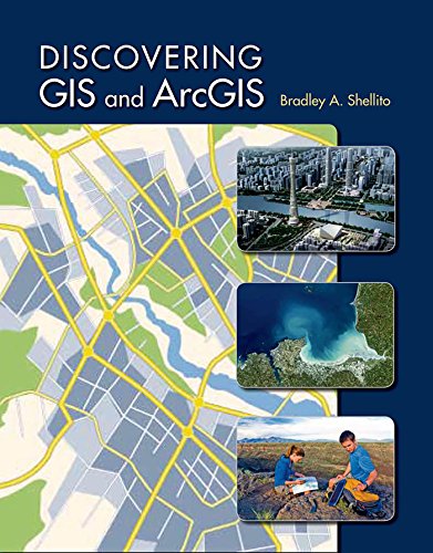
Discovering GIS and ArcGIS
Verlag:
Freeman & Company, W. H., 2014
ISBN 10: 1464145202
ISBN 13: 9781464145209
Gebraucht
Softcover
Anbieter: Better World Books, Mishawaka, IN, USA
Verk�uferbewertung 5 von 5 Sternen
![]()
Zustand: Good. Used book that is in clean, average condition without any missing pages. Artikel-Nr. 4452898-6
Beispielbild f�r diese ISBN
Discovering GIS and ArcGIS
Verlag:
Freeman & Company, W. H., 2014
ISBN 10: 1464145202
ISBN 13: 9781464145209
Gebraucht
Softcover
Anbieter: Better World Books: West, Reno, NV, USA
Verk�uferbewertung 5 von 5 Sternen
![]()
Zustand: Very Good. Used book that is in excellent condition. May show signs of wear or have minor defects. Artikel-Nr. 5742975-6
Beispielbild f�r diese ISBN
Discovering GIS and ArcGIS
Anbieter: ThriftBooks-Dallas, Dallas, TX, USA
Verk�uferbewertung 5 von 5 Sternen
![]()
Paperback. Zustand: Fair. No Jacket. Readable copy. Pages may have considerable notes/highlighting. ~ ThriftBooks: Read More, Spend Less. Artikel-Nr. G1464145202I5N00
Beispielbild f�r diese ISBN
Discovering GIS and ArcGIS
Anbieter: Phatpocket Limited, Waltham Abbey, HERTS, Vereinigtes K�nigreich
Verk�uferbewertung 5 von 5 Sternen
![]()
Zustand: Good. Your purchase helps support Sri Lankan Children's Charity 'The Rainbow Centre'. Ex-library, so some stamps and wear, but in good overall condition. Our donations to The Rainbow Centre have helped provide an education and a safe haven to hundreds of children who live in appalling conditions. Artikel-Nr. Z1-R-016-01305
Gebraucht kaufen
EUR 24,17
Versand:
EUR 12,15
Von Vereinigtes K�nigreich nach USA
Anzahl: 1 verf�gbar