
Verwandte Artikel zu Reference Map of Oceania: The Pacific Islands of Micronesia,...
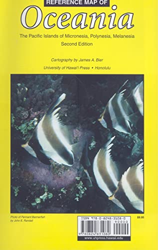
Reference Map of Oceania: The Pacific Islands of Micronesia, Polynesia, Melanesia: The Pacific Islands of Micronesia, Polynesia, and Melanesia
Inhaltsangabe
Completely revised and updated with enhanced readability, James A. Bier’s Reference Map of Oceania is the most comprehensive Pacific map in existence. Its main map and 52 inset maps of all major parts of the region provide a wealth of information in one source. Principal cities, towns, and villages are shown along with roads, topography, and population figures where available. The main map’s Mercator projection is useful for planning routes. Time zones for the Pacific and individual countries are also included. It is the only map that clearly focuses on the political units of Micronesia, Polynesia, and Melanesia, using as its boundaries the 200-mile Extended Economic Zone. With more than 3,400 place names, Oceania will be an invaluable reference for everyone interested in or living in the Pacific islands, including teachers, students, historians, anthropologists, businesses, and travelers.
Die Inhaltsangabe kann sich auf eine andere Ausgabe dieses Titels beziehen.
Suchergebnisse für Reference Map of Oceania: The Pacific Islands of Micronesia,...

Beispielbild für diese ISBN
Reference Map of Oceania : The Pacific Islands of Micronesia, Polynesia, and Melanesia
Anbieter: Better World Books: West, Reno, NV, USA
Verkäuferbewertung 5 von 5 Sternen

Zustand: Very Good. Pages intact with possible writing/highlighting. Binding strong with minor wear. Dust jackets/supplements may not be included. Stock photo provided. Product includes identifying sticker. Better World Books: Buy Books. Do Good. Artikel-Nr. 68890903-75
Gebraucht kaufen
EUR 10,09
Versand gratis
Versand innerhalb von USA
Versand innerhalb von USA
Anzahl: 1 verfügbar
Beispielbild für diese ISBN
Reference Map of Oceania
Anbieter: PBShop.store UK, Fairford, GLOS, Vereinigtes Königreich
Verkäuferbewertung 5 von 5 Sternen
UNK. Zustand: New. New Book. Shipped from UK. Established seller since 2000. Artikel-Nr. FW-9780824831080
Neu kaufen
EUR 12,54
EUR 3,92 Versand
Versand von Vereinigtes Königreich nach USA
Versand von Vereinigtes Königreich nach USA
Anzahl: 2 verfügbar
Beispielbild für diese ISBN
Reference Map of Oceania The Pacific Islands of Micronesia, Polynesia, Melanesia
Anbieter: Revaluation Books, Exeter, Vereinigtes Königreich
Verkäuferbewertung 5 von 5 Sternen
Map. Zustand: Brand New. revised edition. 8.70x5.40x0.40 inches. In Stock. Artikel-Nr. xr082483108X
Neu kaufen
EUR 9,73
EUR 11,91 Versand
Versand von Vereinigtes Königreich nach USA
Versand von Vereinigtes Königreich nach USA
Anzahl: 2 verfügbar
Beispielbild für diese ISBN
Reference Map of Oceania: The Pacific Islands of Micronesia, Polynesia, Melanesia
Anbieter: Ria Christie Collections, Uxbridge, Vereinigtes Königreich
Verkäuferbewertung 5 von 5 Sternen
Zustand: New. In English. Artikel-Nr. ria9780824831080_new
Neu kaufen
EUR 15,55
EUR 11,16 Versand
Versand von Vereinigtes Königreich nach USA
Versand von Vereinigtes Königreich nach USA
Anzahl: 2 verfügbar
Beispielbild für diese ISBN
Reference Map of Oceania: The Pacific Islands of Micronesia, Polynesia, Melanesia
Anbieter: Kennys Bookstore, Olney, MD, USA
Verkäuferbewertung 5 von 5 Sternen
Zustand: New. A comprehensive Pacific map, including a main map and 52 inset maps of the major parts of the region. Principal cities, towns, and villages are shown along with roads, topography, and population figures where available. Time zones for the Pacific and individual countries are also included. Num Pages: colour illustrations. BIC Classification: 1MK; WTRM. Category: (G) General (US: Trade). Dimension: 132 x 145 x 2. Weight in Grams: 56. . 2008. Second. map. . . . . Books ship from the US and Ireland. Artikel-Nr. V9780824831080
Neu kaufen
EUR 18,96
EUR 9,35 Versand
Versand innerhalb von USA
Versand innerhalb von USA
Anzahl: 1 verfügbar