Inhaltsangabe
The eight maps in this series, released in May 2001 by the Ordnance Survey, are designed to include everything a driver needs to explore the country. A journey can be planned in advance, making full use of the colour-coded roads, restricted motorway junctions and mileage guides. They even include height and steep gradient information, making them ideal not only for motorists but also for long distance cyclists and caravanners. From major cities to small villages, each map features a unique gazetteer inside the cover to simplify the task of finding your destination. Tourist information is also included for day trippers and holiday makers including Caravan sites, historic buildings, gardens and country parks, themes and much more.
Die Inhaltsangabe kann sich auf eine andere Ausgabe dieses Titels beziehen.
�ber die Autorin bzw. den Autor
Ordnance Survey is Britain's national mapping agency, responsible for the official, definitive mapping of the whole country. They produce and market a wide range of maps for educational and leisure purposes, as well as producing computer data products for government, business and administrative use.
��ber diesen Titel� kann sich auf eine andere Ausgabe dieses Titels beziehen.
Weitere beliebte Ausgaben desselben Titels

Suchergebnisse f�r East Midlands and East Anglia Including London (Road...

Beispielbild f�r diese ISBN
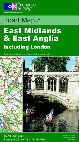
East Midlands and East Anglia Including London: Sheet 5 (Road Map)
Anbieter: WorldofBooks, Goring-By-Sea, WS, Vereinigtes K�nigreich
Verk�uferbewertung 5 von 5 Sternen
![]()
Paperback. Zustand: Good. The book has been read but remains in clean condition. All pages are intact and the cover is intact. Some minor wear to the spine. Artikel-Nr. GOR003201857
Gebraucht kaufen
EUR 3,38
EUR 6,57 Versand
Versand von Vereinigtes K�nigreich nach USA
Versand von Vereinigtes K�nigreich nach USA
Anzahl: 1 verf�gbar
Beispielbild f�r diese ISBN
East Midlands and East Anglia Including London: Sheet 5 (Road Map)
Anbieter: WorldofBooks, Goring-By-Sea, WS, Vereinigtes K�nigreich
Verk�uferbewertung 5 von 5 Sternen
![]()
Paperback. Zustand: Very Good. The book has been read, but is in excellent condition. Pages are intact and not marred by notes or highlighting. The spine remains undamaged. Artikel-Nr. GOR003912167
Gebraucht kaufen
EUR 3,38
EUR 6,57 Versand
Versand von Vereinigtes K�nigreich nach USA
Versand von Vereinigtes K�nigreich nach USA
Anzahl: 1 verf�gbar
Beispielbild f�r diese ISBN
East Midlands and East Anglia Including London (Road Map)
Anbieter: Reuseabook, Gloucester, GLOS, Vereinigtes K�nigreich
Verk�uferbewertung 5 von 5 Sternen
![]()
Map. Zustand: Used; Very Good. Dispatched, from the UK, within 48 hours of ordering. Though second-hand, the book is still in very good shape. Minimal signs of usage may include very minor creasing on the cover or on the spine. Artikel-Nr. CHL10761028
Gebraucht kaufen
EUR 6,19
EUR 11,74 Versand
Versand von Vereinigtes K�nigreich nach USA
Versand von Vereinigtes K�nigreich nach USA
Anzahl: 1 verf�gbar