
Gesamtpreis (1 Artikel Artikel):
Versandziel:

normandy 102 (6 Ergebnisse)
Direkt zu den wichtigsten Suchergebnissen
Produktart
- Alle Produktarten
- Bücher (6)
- Magazine & Zeitschriften
- Comics
- Noten
- Kunst, Grafik & Poster
- Fotografien
- Karten
-
Manuskripte &
Papierantiquitäten
Zustand
Einband
- alle Einbände
- Hardcover
- Softcover (1)
Weitere Eigenschaften
- Erstausgabe
- Signiert
- Schutzumschlag
- Angebotsfoto (4)
Land des Verkäufers
Verkäuferbewertung
-

Normandy: No. 102 (IGN Red S.)
Verlag: Institut Geographique National, 1992
ISBN 10: 2110010215ISBN 13: 9782110010216
Buch
Zustand: Good. Most items will be dispatched the same or the next working day.
-
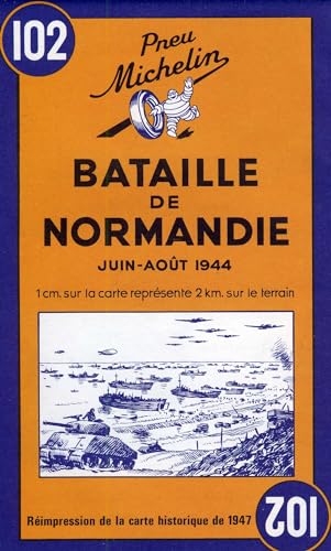
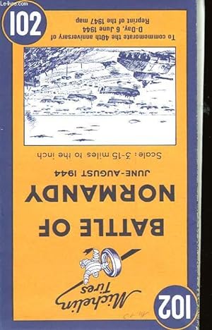
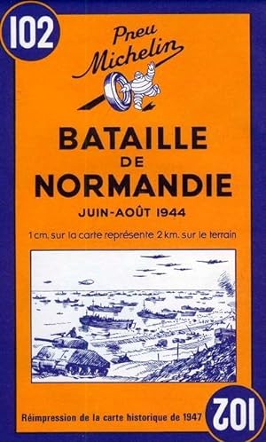
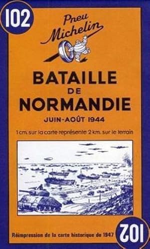
Battle of Normandy - Michelin Historical Map 102
Verlag: Michelin 1997-12-01, Boulogne-Billancourt, 1997
ISBN 10: 2067002627ISBN 13: 9782067002623
Buch
sheet map (folded). Zustand: New. Language: ENG.
-
Couverture souple. Zustand: bon. RO30023687: 1947. In-12. Broché. Bon état, Couv. convenable, Dos satisfaisant, Intérieur frais. Carte en couleurs (75 x 97 cm). Retirage de 1947. . . . Classification Dewey : 940.53-Seconde Guerre mondiale 1939-1945.
-
Michelin Historical Map 102: : Battle of Normandy (Michelin Historical Maps)
Verlag: Michelin Maps, 1997
ISBN 10: 2067002627ISBN 13: 9782067002623
Buch
Map. Zustand: New. BRAND NEW ** SUPER FAST SHIPPING FROM UK WAREHOUSE ** 30 DAY MONEY BACK GUARANTEE.
-
Battle of Normandy - Michelin Historical Map 102
Verlag: Travel House Media|Michelin, 1997
ISBN 10: 2067002627ISBN 13: 9782067002623
Buch
Zustand: New. Michelin Antique -feeling reproduction maps published in 1947. The main map includes place names and features special icons denoting battle dates and parachute drops, as well as an inset showing the broader movements of the military forces.Michelin Bat.
-
Battle of Normandy - Michelin Historical Map 102 : Map
Verlag: Michelin Editions Des Voyages Dez 1997, 1997
ISBN 10: 2067002627ISBN 13: 9782067002623
Buch
Karte. Zustand: Neu. Neuware - Michelin Battle of Normandy Map 102 covers the region associated with the Battle of Normandy between June and August 1944, at a scale of 1:200,000.Historic WWII reproduction map. A detailed map of Normandy at a scale of 1:200,000 showing the main sites of the summer 1944 battle. This map is an antique-feeling reproduction of the map originally published by Michelin in 1947. The main map includes place names and features special icons denoting battle dates and parachute drops, as well as an inset showing the broader movements of the military forces. The original cartography includes all types roads, included those that were under construction - distances are also marked on roads. Castles, places of worship, ruins are all clearly marked. The text is in French and English.Use this in conjuction with a modern day map to help you show what changes have happened since 1944 1 pp. Englisch.