(s/dev) Oxford First Atlas - Hardcover
Zu dieser ISBN ist aktuell kein Angebot verf�gbar.
Alle Exemplare der Ausgabe mit dieser ISBN anzeigen:
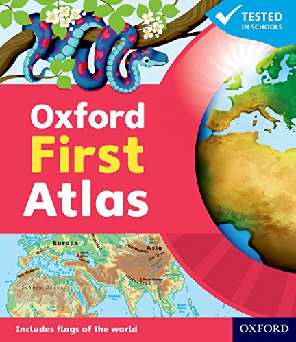
The Oxford First Atlas is an accessible and informative atlas for young learners in their first years at school. It is completely up-to-date, and features accurate and easy-to-read colourful mapping presented in an accessible visual layout based on research into how young children use maps. It encourages children to learn about their world and develop atlas and map skills., It includes: * A simple introduction to Planet Earth and places around the world * Clear and colourful maps of the world and all the continents * Clear and colourful thematic maps showing coasts, rivers, mountains, the weather, environments, cities, animals, and holidays * Colourful photographs * Fascinating facts about places and people * Questions that encourage children to think and engage with the maps. The Oxford First Atlas is accompanied by a Teacher's Handbook for practical page-by-page guidance on using the atlas, an Activity Book for independent work to develop map skills, and an e-Atlas CD-ROM providing an interactive version of the atlas for whole-class display.
Die Inhaltsangabe kann sich auf eine andere Ausgabe dieses Titels beziehen.
Biograf�a del autor:
Dr Patrick Wiegand taught in primary and secondary schools before being appointed to the School of Education at the University of Leeds where he trained teachers, taught on Masters' programmes and supervised PhD students. He became Head of Teacher Training at the University of Leeds and then Reader in Geography Education. He has researched children's thinking with maps and Geographic Information Systems (GIS) throughout his career and has published many books, chapters and research papers in this area including Learning and Teaching with Maps (Routledge, 2006). He was Chair of the Cartography and Children Commission of the International Cartographic Association, held a Leverhulme Research Fellowship in GIS in Education, and has served on the UK Committee for Cartography. He has always worked to improve the quality and usability of classroom teaching materials and has been Editorial Adviser for OUP atlases for 30 years.
��ber diesen Titel� kann sich auf eine andere Ausgabe dieses Titels beziehen.
- VerlagOxford
- Erscheinungsdatum2000
- ISBN 10 0198487851
- ISBN 13 9780198487852
- EinbandTapa dura
- Anzahl der Seiten48
- Bewertung
Neu kaufen
Mehr zu diesem Angebot erfahren
EUR 15,71
Versand:
EUR 5,28
Von Vereinigtes K�nigreich nach USA
Beste Suchergebnisse beim ZVAB
Beispielbild f�r diese ISBN
Oxford First Atlas
Verlag:
OUP OXFORD 2011-09-02, Oxford
(2011)
ISBN 10: 0198487851
ISBN 13: 9780198487852
Neu
Hardcover
Anzahl: > 20
Anbieter:
Bewertung
Buchbeschreibung hardback. Zustand: New. Language: ENG. Artikel-Nr. 9780198487852
Weitere Informationen zu diesem Verk�ufer | Verk�ufer kontaktieren
Neu kaufen
EUR 15,71
W�hrung umrechnen